|
|
Michaux Trails map :
Trail Reports list
Use the link at left to return to the trails map.
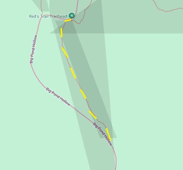
Trail Report Reds trail 2Reporters: Mike Bertram Date: August 16, 2025 Usage: unclear, biking and hiking?
|
GPS Readings: Ends: 40.0282N, 77.4054W and 40.0218N, 77.4028W The road section is 0.5 miles long. Note: * the trail name is unofficial and temporary. |