|
|
Michaux Trails map :
Trail Reports list
Use the link at left to return to the trails map.
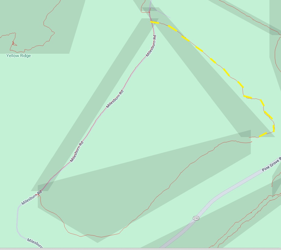
Trail Report Long Pine Reservoir - Powerline 1*Reporters: Mike Bertram Date: August 22, 2025 Usage: unclear
|
GPS Readings: Ends: 39.9347N, 77.4524W and 39.9277N, 77.4454W The road section is 0.8 miles long. Note: * the trail name is unofficial and temporary. |