|
|
|
Mines Menu:
Mines Map
Use the links at the left to return.
|
|
Mine Descriptions |
|
Yuba Mine | |
|
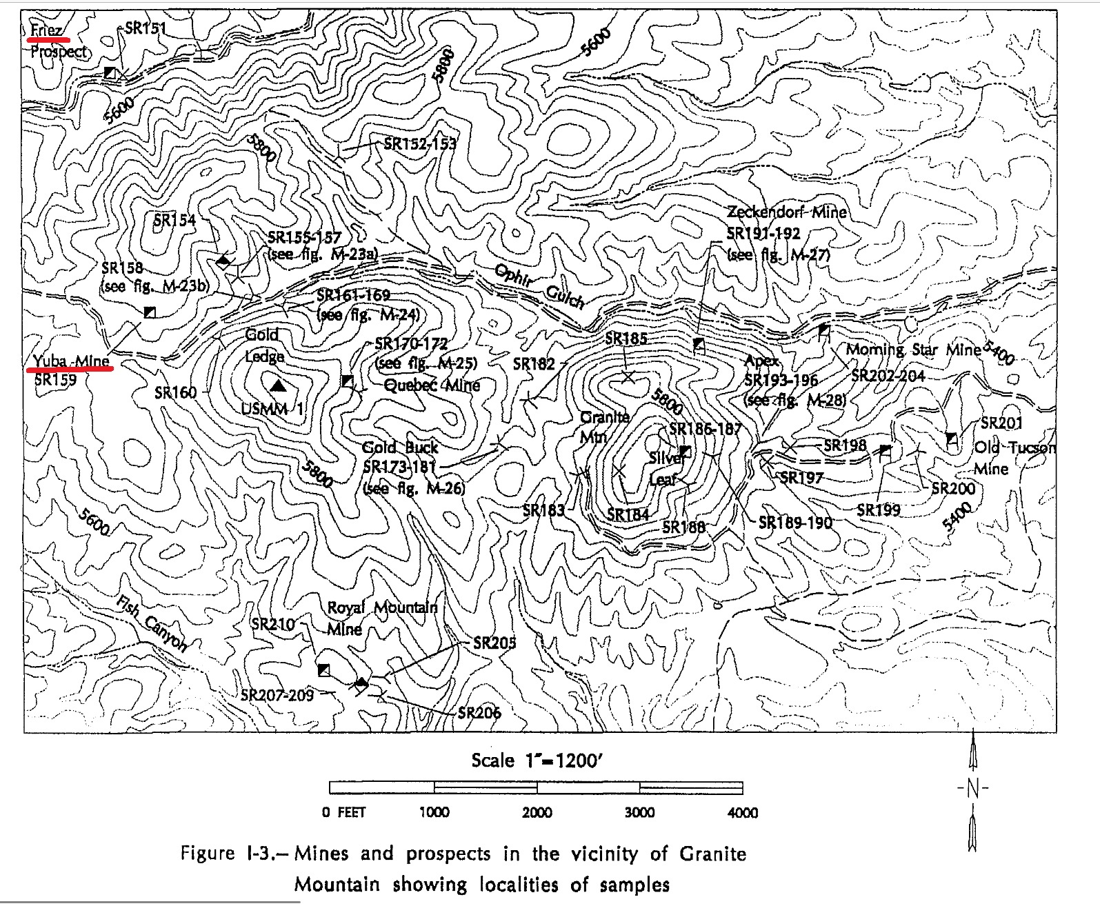
The Yuba mine is 2 miles west of Greaterville, on the north side of the upper end of Hughes Gulch, at an elevation of 5,850 feet. It was located in 1874, and from it, in the eighties, were shipped some surface ores that are said to have averaged $1 a pound in gold and silver. The total production is several thousand dollars. The property contains three quartz veins, dipping about 55° S., in course sheared granite. The south vein is about 3 feet wide, the middle one about 2½ feet, and the north one of less width. In the longitude of the mine the veins are about parallel and 100 feet apart but at 700 feet they unite into one ledge. The mine is on the southern or main vein, no work other than stripping having been done on the other two. It is opened mainly by four inclined shafts sunk on the vein, the deepest of whichis said to be about 100 feet. Water stands within 15 feet of the surface. The vein is composed of white “bull” quartz, with a little barite and calcite in places. It is banded and shows comb structure, but these feeatures are locally destroyed by postvein movement. The croppings consist principally of white quartz sparingly spotted with copper carbonates and bunches of black-coated galena. The rich oxidized ores gave out at a depth of 20 feet, but between that limit and the 50 foot level the ore, although spotted, is said to have averaged about $10 in gold and silver to the ton, the gold ad silver being contained galena and chalcopyrite and a few small masses of argentite2. Mining District and MinesGreaterville District Location19S 15E SW¼ 235 -110.78151, 31.76152 (WGS84), elevation 1,783m4 Mineral ProductsPb, Zn, Ag, Cu, Au5 Ag, Au, Pb, Cu, Zn4 GeologyQuartz - calcite - barite veins, banded and with comb texture, containing partially oxidized galena, sphalerite, and chalcopyrite and small pockets of argentite in sheared Precambian granodiorite along a strong fault zone5. Type of Operation and ProductionIncline shaft. Worked in 1880s, producing 50 or more tons of high grade Pb - Ag - Au ore.5 References
|