|
|
|
Mines Menu:
Mines Map
Use the links at the left to return.
|
|
Mine Descriptions |
|
Vulcan Mines Group | |
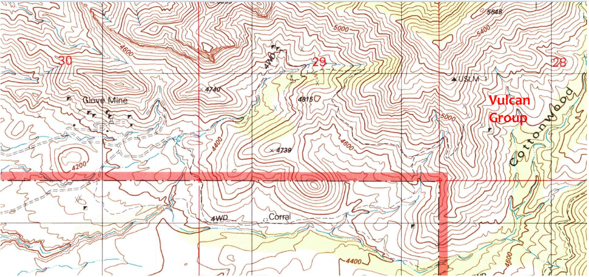
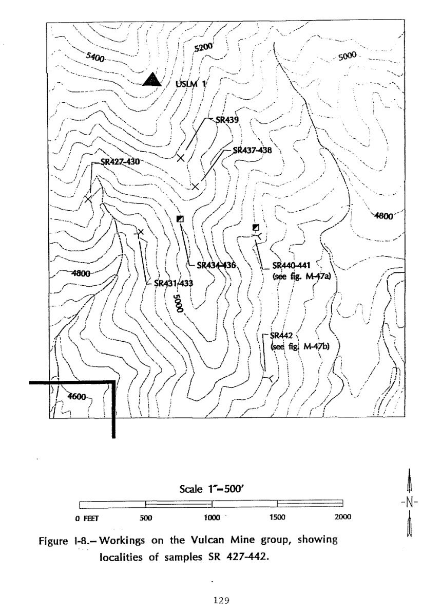
DescriptionThe Vulcan mine is 3½ miles north of Wise's ranch, 5 miles north north west of Salero, and a mile west of Josephine Canyon, in the foothills. It is on a prominent 40-foot silicified iron-bearing or ferruginous ledge, in intrusive diorite or andesite "porphyry," on or near its contact with the Paleozoic limestone, which dips to the south south west. The deposit contains, besides iron, some chalcopyrite and copper carbonates2. CompanyAllen, Wingfield & Farrel2. Mining District and MinesTyndall District
Arizona Geological Survey Mining datahttp://docs.azgs.az.gov/OnlineAccessMineFiles/S-Z/VulcanminegroupSantacruz186b.pdf Location20S 14E SW¼ 285 31.65903N, -110.92038W4 Mineral ProductsCu, Ag-.5 GeologyCopper carbonates and sparse chalcopyrite and pyrite as irregular replacements in engulfed exotic blocks of Paleozoic limestone and in ferruginous quartz-fissure veins in Cretaceous dacite volcanic breccia. Associated Tertiary quartz latite dikes.5 Type of Operation and ProductionAdit operations. Worked in early 1900's and in 1954, producing some 650 tons of ore averaging 8% Cu and 1 oz. Ag/T.5. References
|