|
|
|
Mines Menu:
Mines Map
Use the links at the left to return.
|
|
Mine Descriptions |
|
Ultimo Mine | |
|
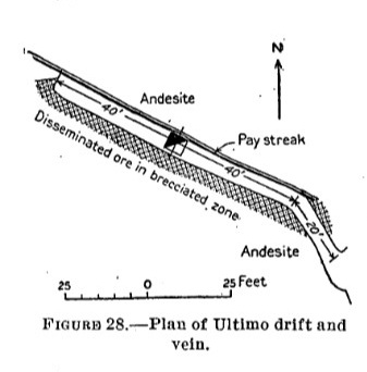
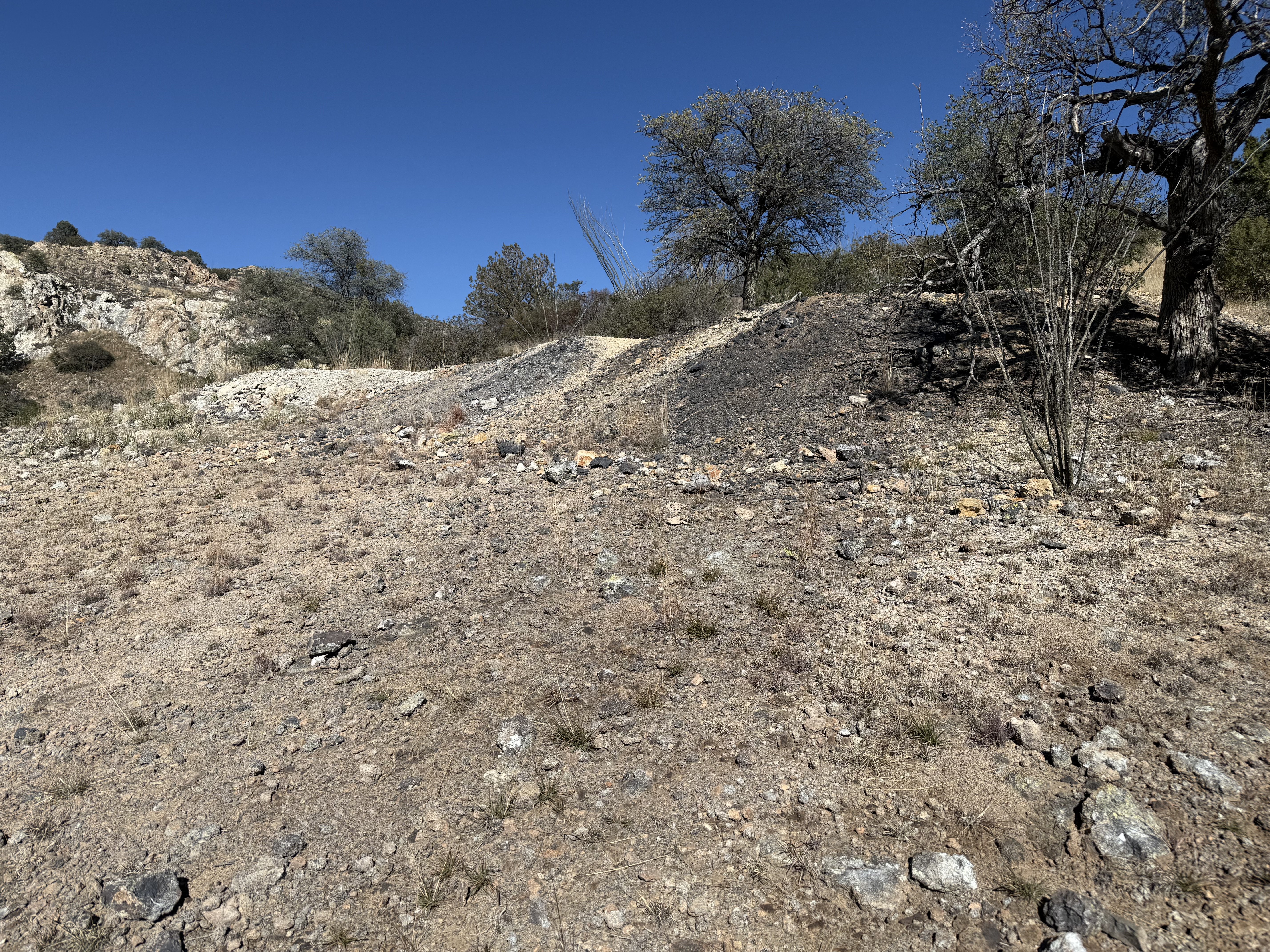
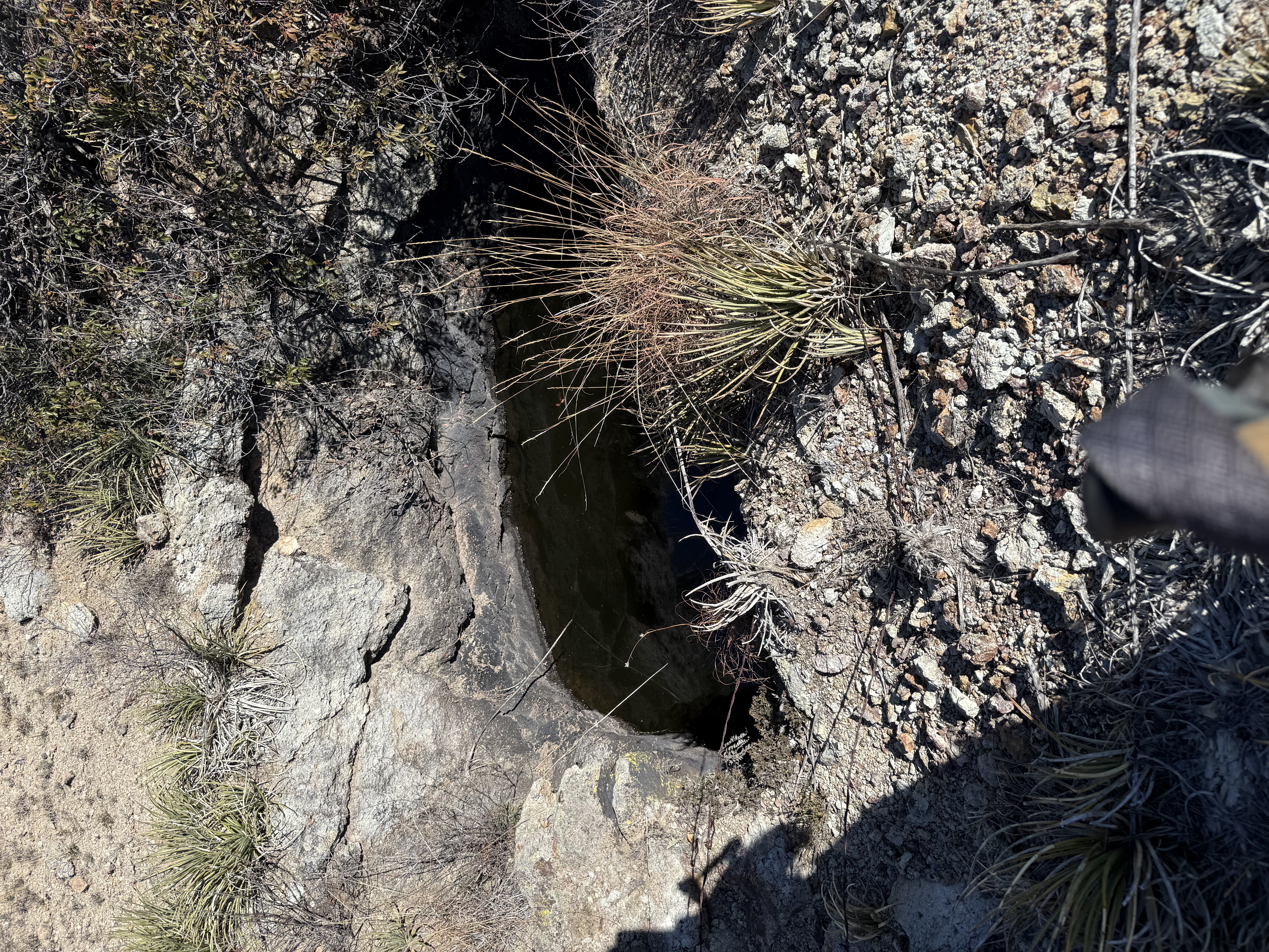
The Ultimo prospect, on the claim of the same name, is opened just opposite the Anaconda camp by a 20 foot crosscut tunnel containing 65 feet of drift and a 30 foot shaft on the vein, which strikes N62°W in crushed tuffaceous andesite. The tunnel and drift do not attain a depth of more than 28 feet. The drift contains a 6 foot winze which is filed with water. Sulfides begin at a depth of about 17 feet, and a shown by the tunnel the wall rock on the south side of the vein consists of 16 feet of crushed and brecciated andesite, mineralized with pyrite and chalcopyrite, and constitutes a body of low grade milling ore said to average about 2½% in copper. In the vein on the north wall of the drift mineralized seams open into small ore lenses about 2½" wide composed of quartz, barite, chalcopyrite, tetrahedrite, galena, and pyrite, some of which is said to average about $40 to the ton. In the shaft, at a depth of 17 feet, the vein is about a foot in width and contains principally banded ore, consisting of chalcopyrite, galena, and tetrahedrite in a quartz-barite gangue. Alternate NamesNone CompanyJohn Parks, Anaconda-Arizona Mg. Co., Altamirano, Boulder Mg. Co.5 Mining DistrictWrightson District
Location21S 15E, NW¼ Cen. S., Cen. & SW¼ 3 N. Cen. & NE¼ 105 Mineral ProductsAg, Pb, Cu, Zn-, Au- 5 GeologyLensing quartz fissure veins containing calcite and barite, and with shoots, stringers, and seams of argentiferous galena, chalcopyrite, sphalerite, tetrahedrite and pyrite. Veins are often vuggy with mineralization banded or lining vugs. Wall rock is Triassic rhyolite and latite volcanics [Anaconda Group as a whole].5 Type of Operation and ProductionTunnel and shaft operations. Worked from early 1870s and intermittently through 1949, producing some 300 tons of ore averaging about 5% Pb, 30 oz. Ag/T, 3% Cu, and minor Au. [Anaconda Group as a whole]5 Photos 2/1/263
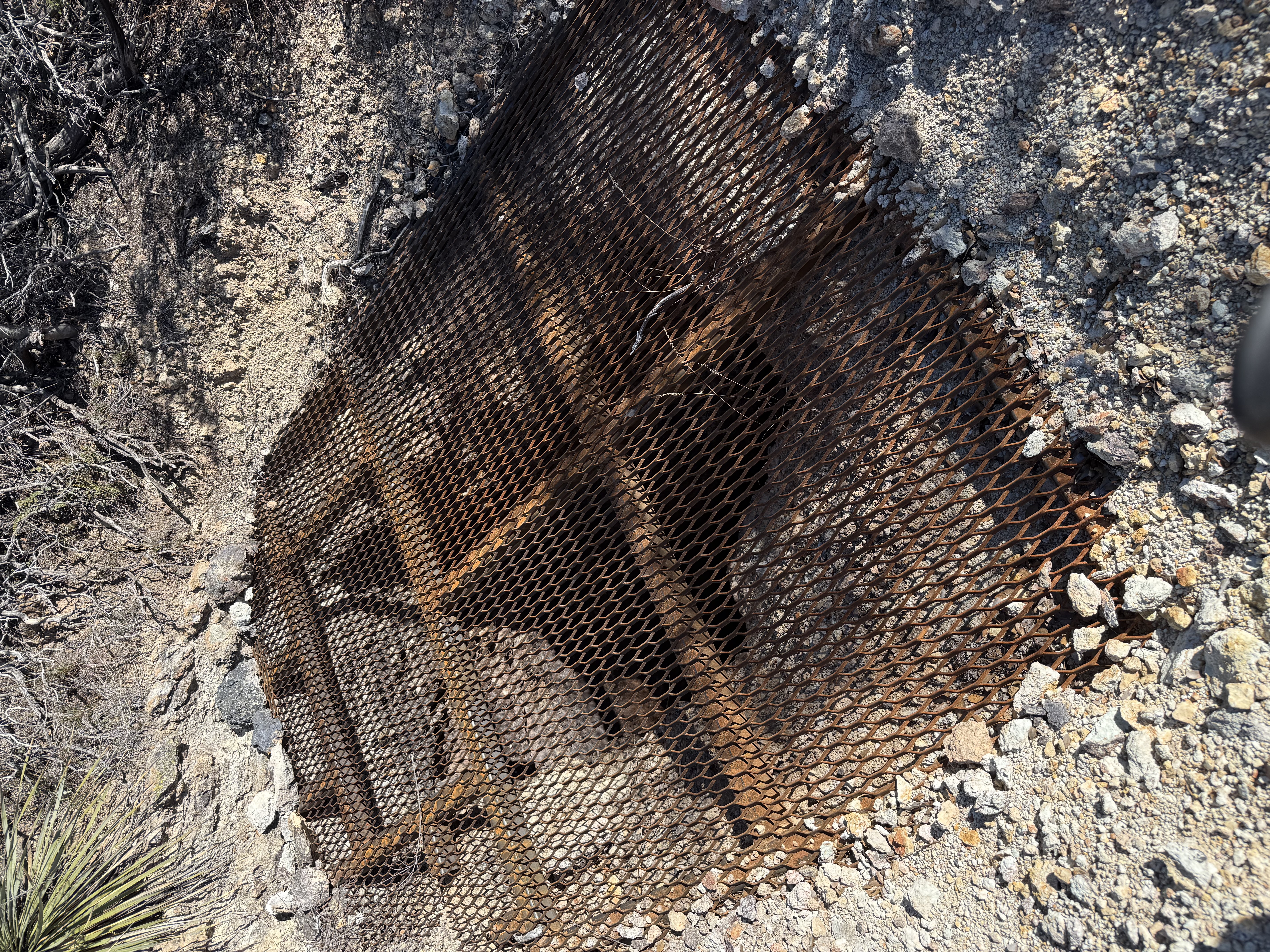
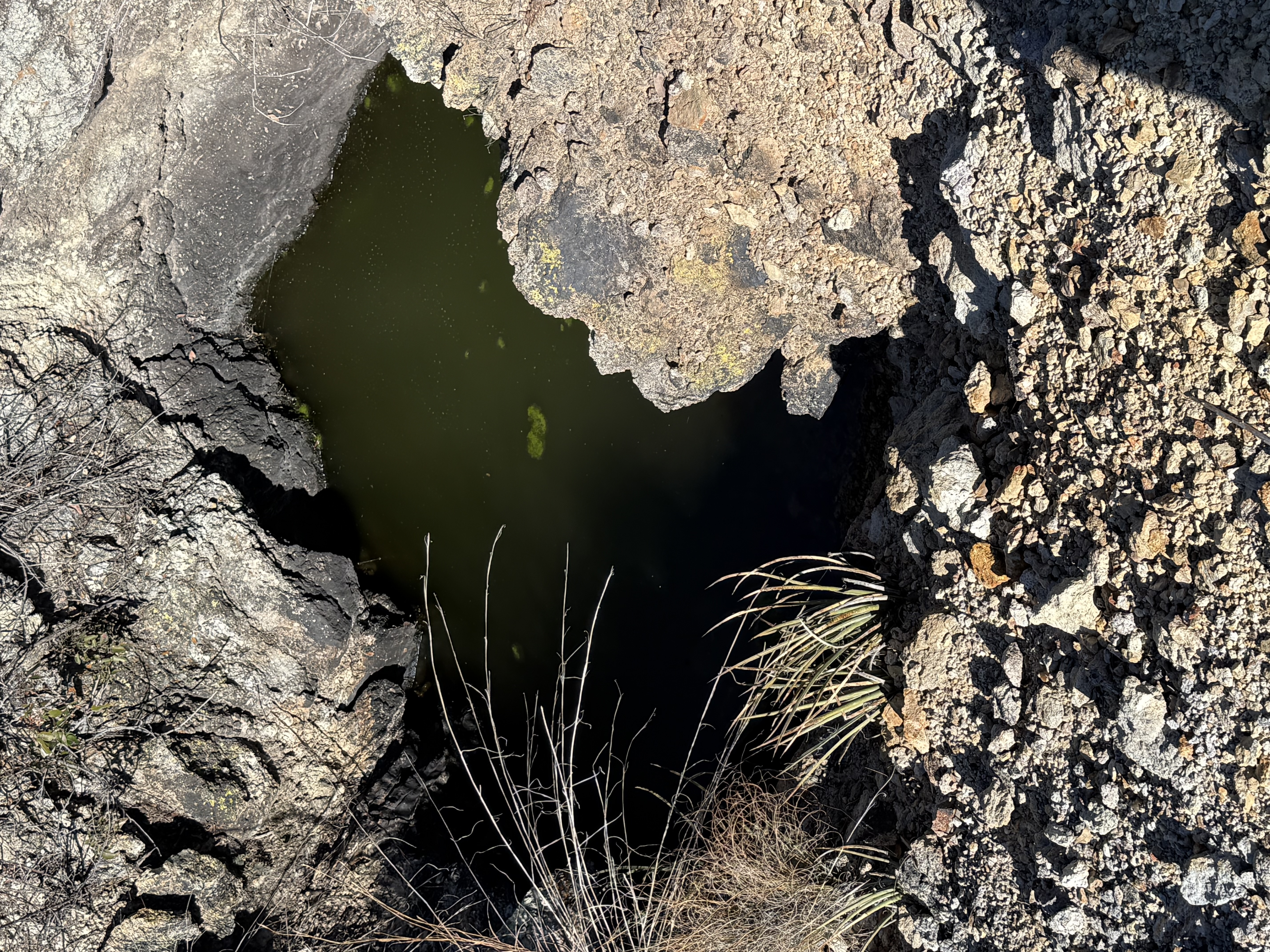
The shafts are side-by-side References
|