|
|
|
Mines Menu:
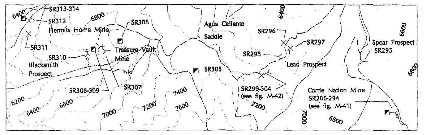
Mines Map
Use the links at the left to return.
|
|
Mine Descriptions |
|
Treasure Vault Mine | |
|
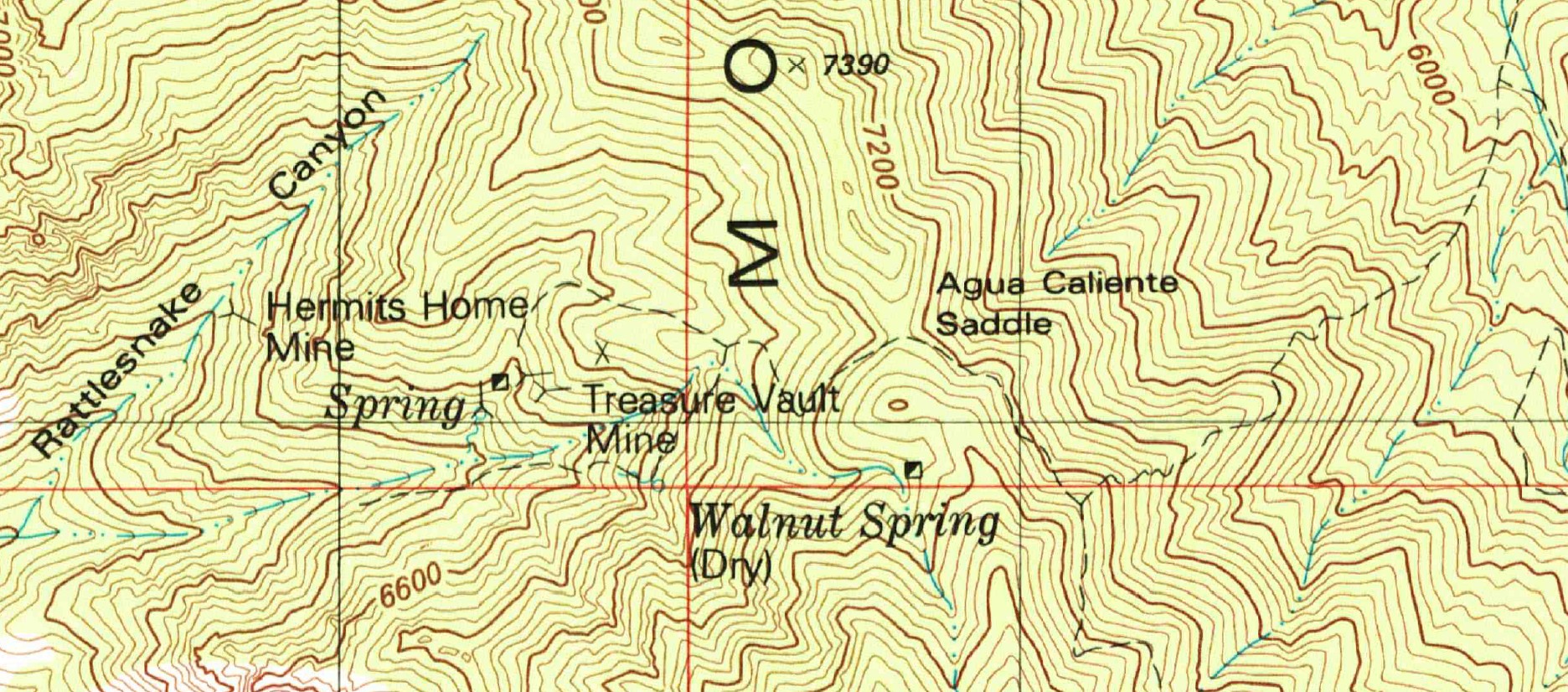
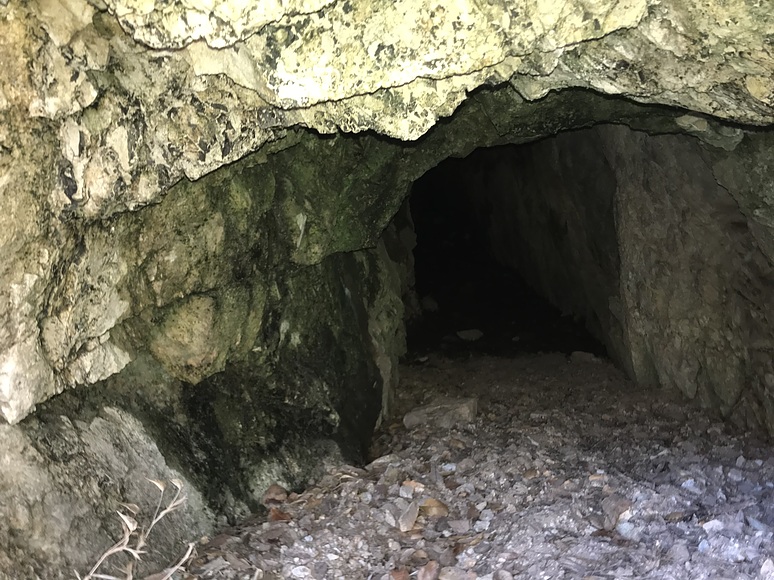
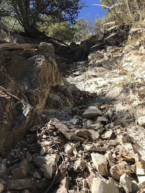
The Treasure Vault mine is located in the upper part of Agua Caliente Canyon at an elevation of about 6,650 feet. It was discovered in 1899 and is owned by the Santa Rita Mining Co., of Tucson. It is on a fault fissure which strikes N. 75° E, and stands about vertical in altered porphyritic diorite which is intruded by granite porphyry on the southeast. The diorite is fine grained and consists of andesine, hornblende, and orthoclase, with a little quartz, biotite, and magnitite. Next to the fault it contains phenocrysts of hornblende three-fourths of an inch in maximum length. The fissure filling consists principally of about 4 feet of hard sheared and altered diorite and quartz. It is separated from the walls by a thick selvage. The ore consists mainly chalcopyrite, galena, tetrahydride (gray copper), and sphalerite in association with quartz and some calcite. It occurs principally as pockets or stringers in the selvage and is only sparingly disseminated in the main filling. Some of it is said to average 18 per cent in copper and 100 ounces of silver and $29 of gold to the ton. The mine is developed by two tunnels and a shaft. The tunnels are driven eastwards in a ridge that separates the head forks of Agua Caliente Canyon. They are 80 feet apart vertically. The lower tunnel is 135 feet long, and from it a 30-foot crosscut has been driven to the south. It makes considerable water, which is rapidly depositing limonite on the walls and floors. The shaft, which 100 feet deep, is located above the upper tunnel, which is 80 feet long and considerably caved.2
Alternate NamesNone CompanySanta Rita Mining company2. Mining District and MinesTyndall District Arizona Geological Survey Mining datahttps://data.azgs.arizona.edu/api/v1/collections/ADMM-1552440859503-200/TreasurevaultmineSantacruz52c.pdf Location31 DEG 42MIN 05SEC , W 11 ODEG 53MIN 28SEC 31.70111,-110.891112 Mineral ProductsAg, Au, Pb, Zn 5 GeologyMineralization involves a fault fissure which strikes N.75ºE. and stands about vertical in altered porphyritic diorite which is intruded by granite porphyry on the SE. The diorite is fine-grained and consists of andesine, hornblende, and orthoclase, with a little quartz, biotite, and magnetite. Next to the fault it contains phenocrysts of hornblende ¾ of an inch in maximum length. Type of Operation and ProductionWorkings include a shaft and 2 tunnels separated by 80 feet vertically. The tunnels are driven eastward in a ridge that separates the head forks of Agua Caliente Canyon. The lower tunnel is 135 feet long, and from it a 30 foot long crosscut has been driven to the south. The shaft is 100 feet deep and is located 100 feet above the upper tunnel, which is 80 feet long and caved.5 Photos
NotesMine not in Keith. Route description in Tubac Nature Center book inadequate. Not in Tomasi book. Ref. 1 is best plan of the area References
|