|
|
|
Mines Menu:
Mines Map
Use the links at the left to return.
|
|
Mine Descriptions |
|
Summit Mine | |
|
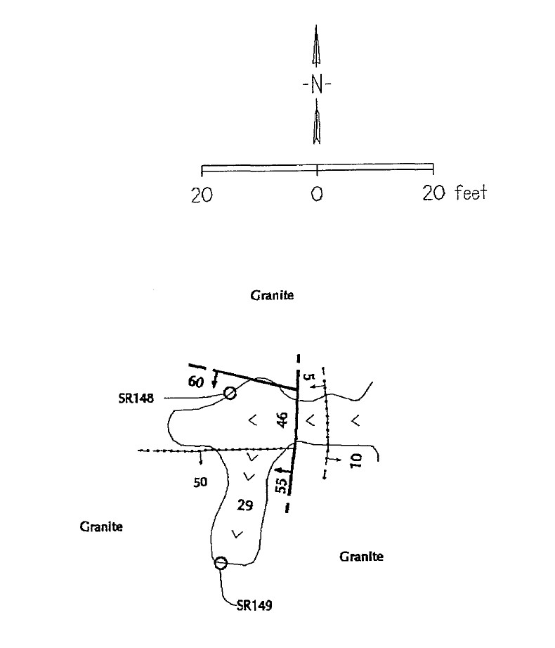
The Summit mine is just west of Melendreth Pass, on the trail descending Sawmill Canyon, at an elevation of 5,700 feet. It is opened by an incline of unknown depth sunk on a quartz vein 1 to 2 feet wide that dips 75° W. The ore as seen on the dump contains galena, tetrahedrite (gray copper), malachite, and azurite rather widely disseminated through the quartz gangue. The sulphides begin at the surface2. Mining District and MinesGreaterville District Location-110.79901, 31.76485 (WGS84), elevation 1,737m4 Mineral ProductsPb, Ag, Cu4 Plan of samples1
References
|