
|
Mines Menu:
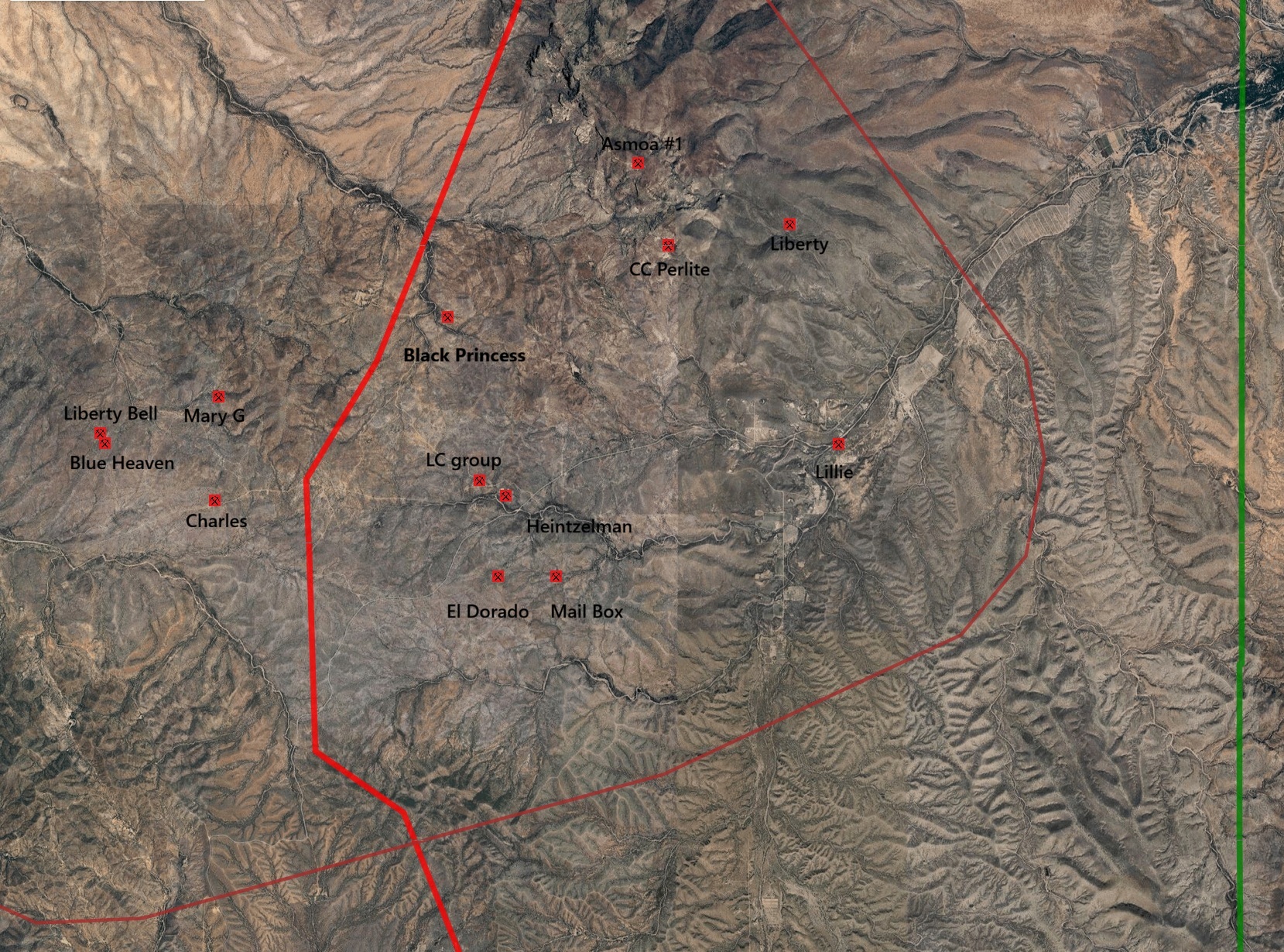
Mines Map
Use the links at the left to return.
|
Mine Descriptions
|
Silver Shield Mine |
|
AKA: Colorado Clark
Mining District and Mines
Cerro Colorado District
USBM:
Location
20S 10E NE¼ 35, 31.6512N, -111.2853W7
Mineral Products7
Ag, Pb, Au, Cu, Zn (Hg).
Ownership7
Owner Name: Falk, Mitchell
Type of Operation and Production7
Shallow shaft operation. Worked intermittently from 1880’s to early 1900’s, producing about 20 tons of high grade silver ore with minor base metals.
Geology7
Irregular, spotty and weak, oxidized, argentiferous base metal sulfides in a lensing quartz fissure vein in Cretaceous andesite porphyry.
.
References
- Mineral Appraisal of Coronado National Forest, Part 12, Santa Rita Mountains Unit, MLA11-94 (1994). SR 591-609
https://data.azgs.arizona.edu/api/v1/collections/BMRI-1552428987530-264/usbm_mla_011-94.pdf
- Mining in the Santa Rita and Patagonia Mountains of Arizona, U.S. Department of Interior, 1915. Republished 2014 by Kerby Jackson.
- mindat.org
- USGS Mineral Resources Data System - possibly using NAD72 (https://mrdata.usgs.gov/mrds/map-commodity.html#home)
- https://westernmininghistory.com/mine-detail/10162214/
- Index of Mining Properties in Santa Cruz county, Arizona; Stanton B. Keith, Arizona Geological Survey, Bulletin 191 (1975).
- Index of Mining Properties in Pima county, Arizona; Stanton B. Keith, Arizona Geological Survey, Bulletin 189 (1974).
|