
|
Mines Menu:
Mines Map
Use the links at the left to return.
|
Mine Descriptions
|
Montosa Canyon3 |
Water-filled adit found. A small amount of water was flowing out of the mine. Adit seems to have collapsed 10 to 20 feet into the rock.
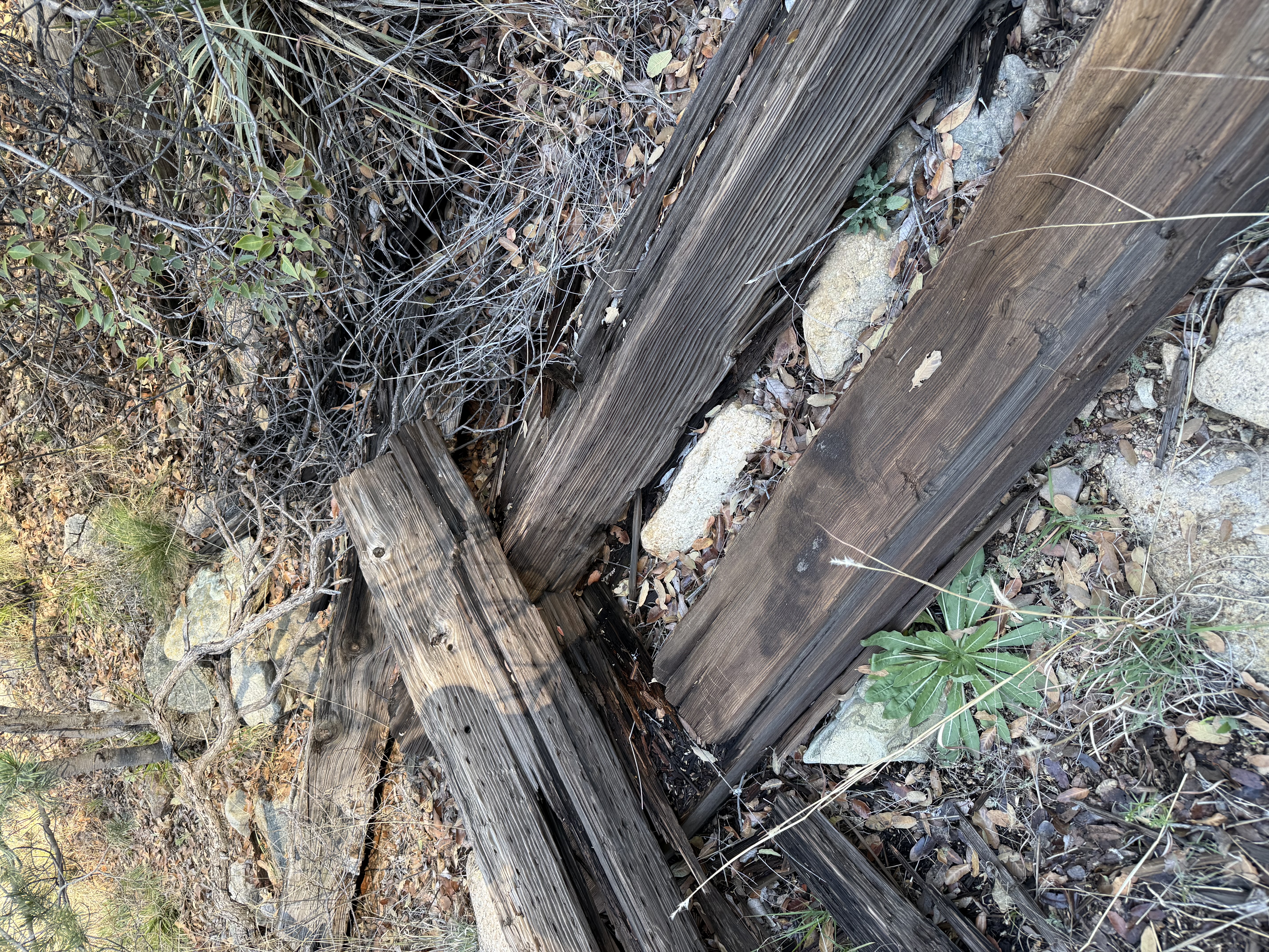
There were at least 20 of these decaying railroad ties in the area.
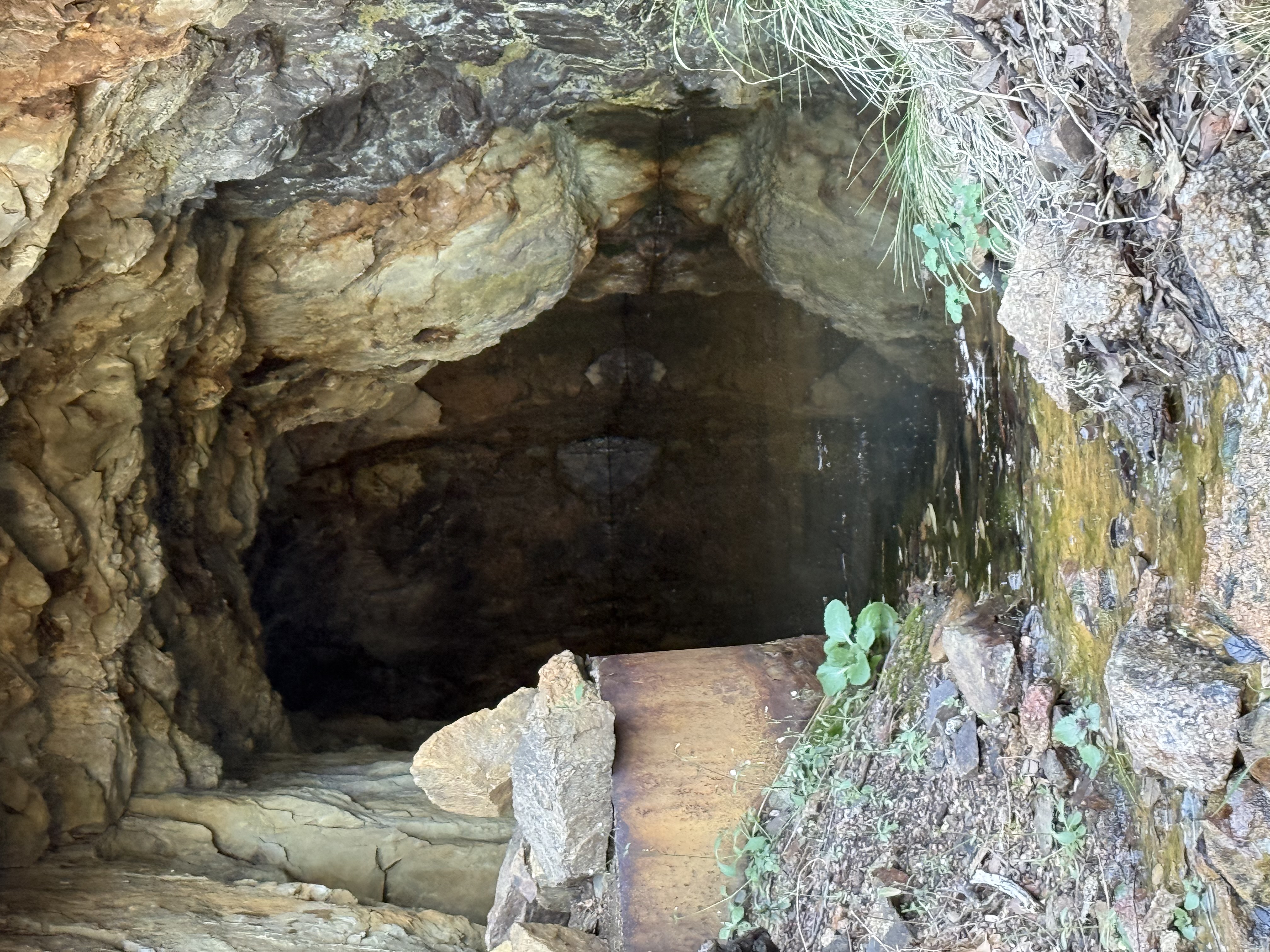
Water-filled Adit
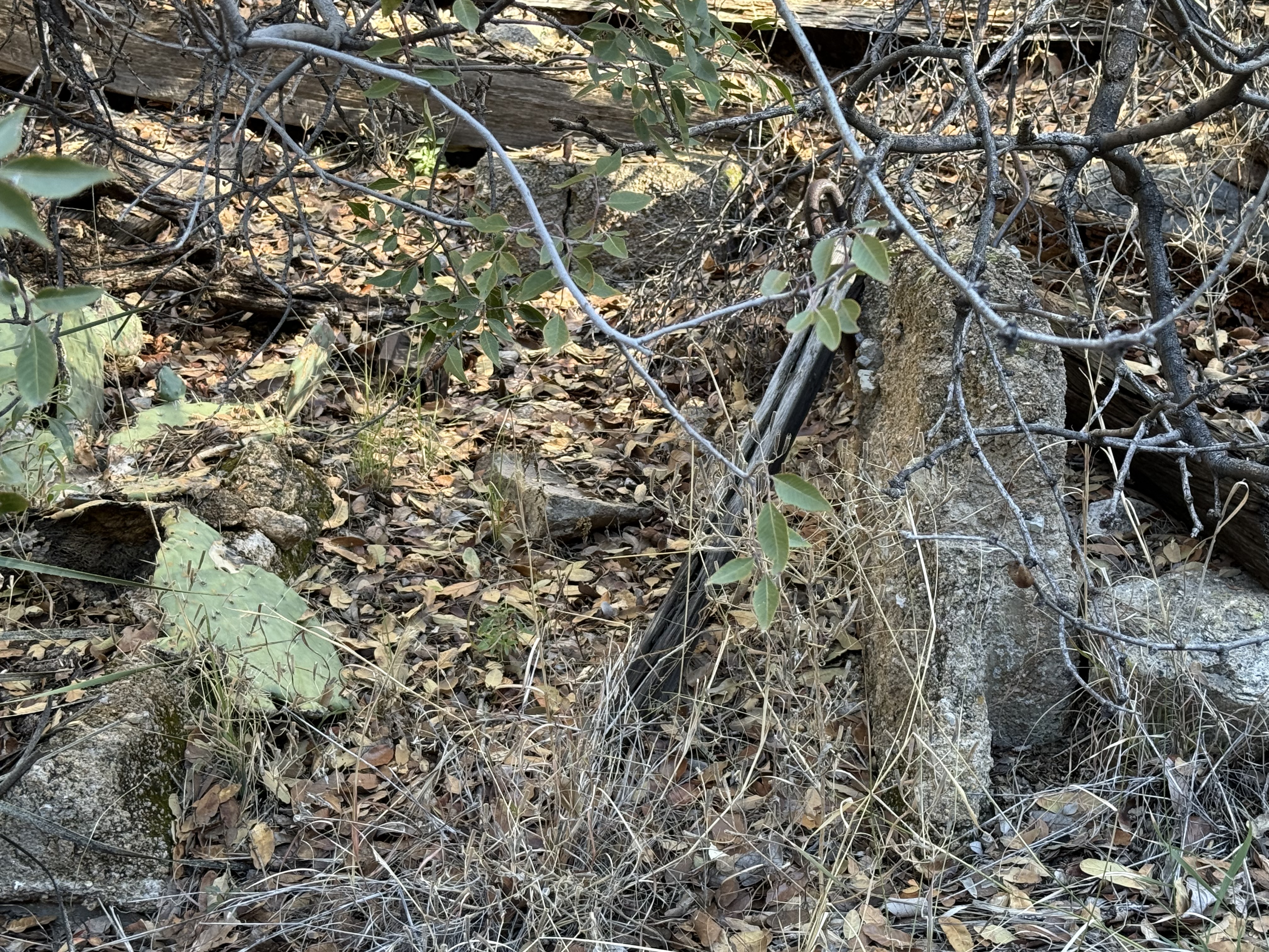
Construction Remains
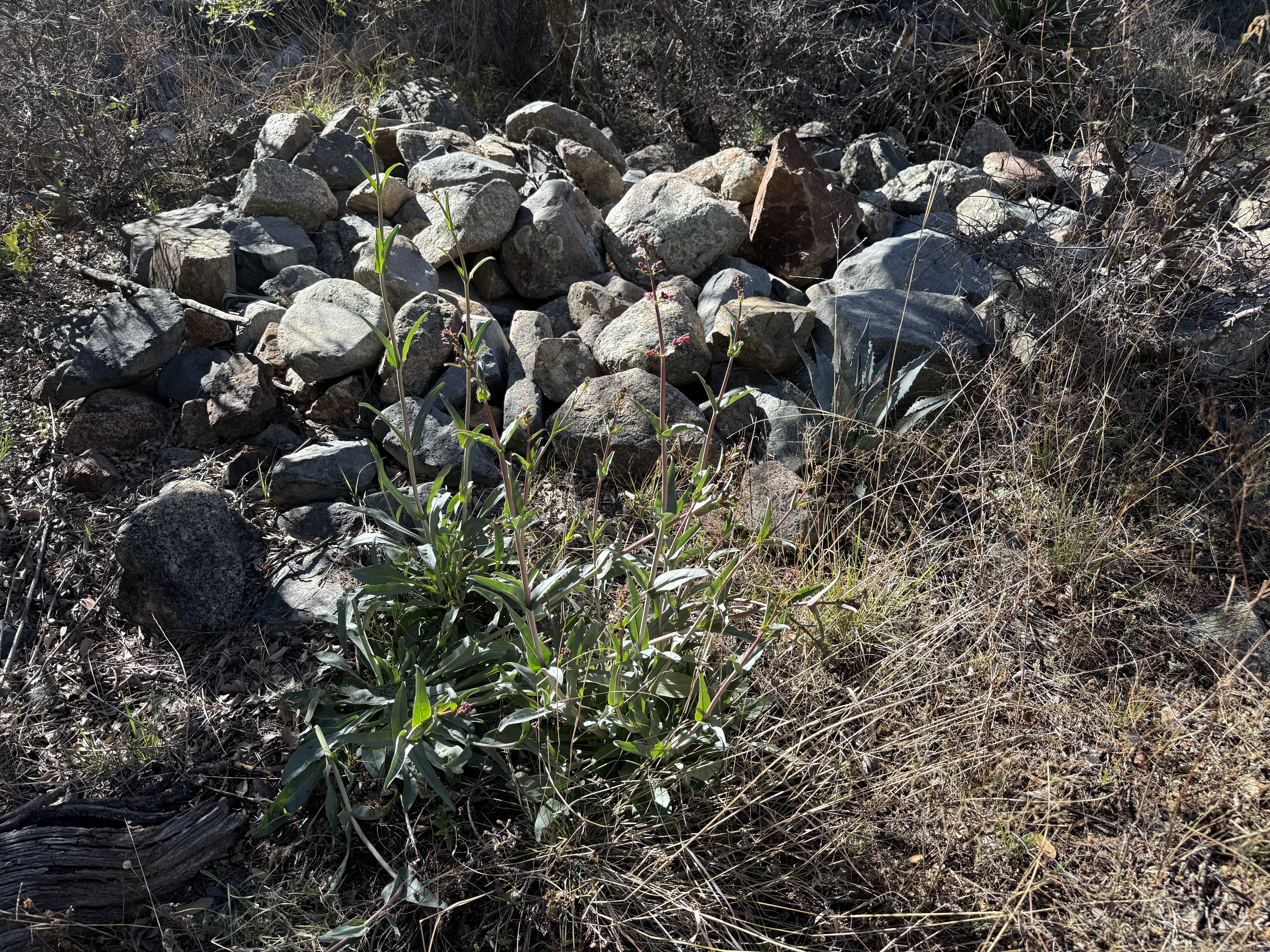
Possible filled-in mine entrance
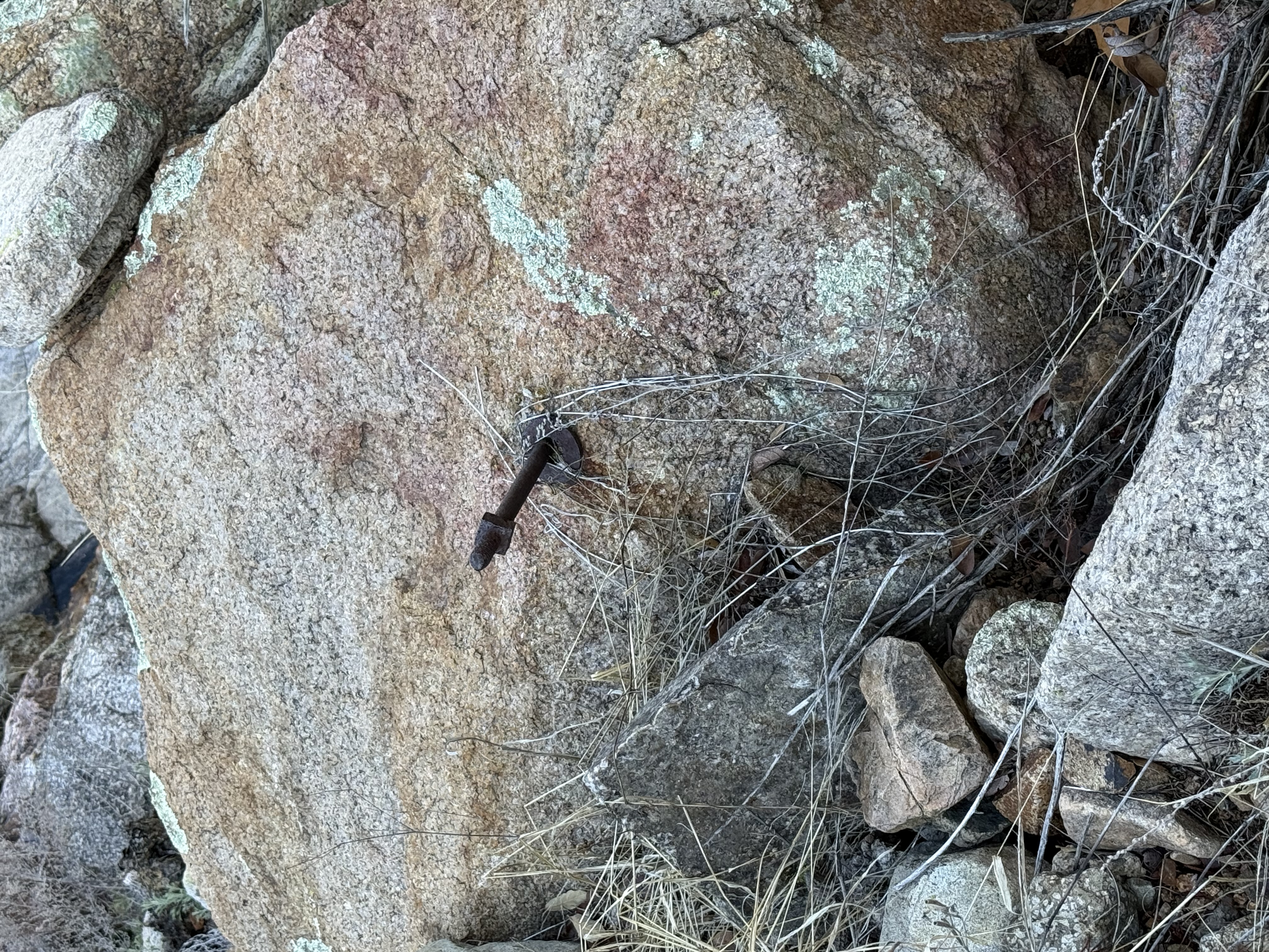
Iron bolt in rock
Location
31.6777 ,-110.90693
References
- Mineral Appraisal of Coronado National Forest, Part 12, Santa Rita Mountains Unit, MLA11-94 (1994). SR 591-609
http://repository.azgs.az.gov/sites/default/files/dlio/files/nid1813/usbm_mla_011-94.pdf
- Mining in the Santa Rita and Patagonia Mountains of Arizona, F. C. Schrader, U.S. Department of Interior, 1915. Republished 2014 by Kerby Jackson.
- Mike Bertram, 3/11/26
- USGS Mineral Resources Data System - using WGS84 (https://mrdata.usgs.gov/mrds/map-commodity.html#home)
- Index of Mining Properties in Santa Cruz County by Stanton B. Keith, bulletin 1991, Arizona Geological Survey, 1975
- WesternMiningHistory.com
- https://www.gvrhc.org/Library/LuckyLedgeMine.pdf
|