|
|
|
Mines Menu:
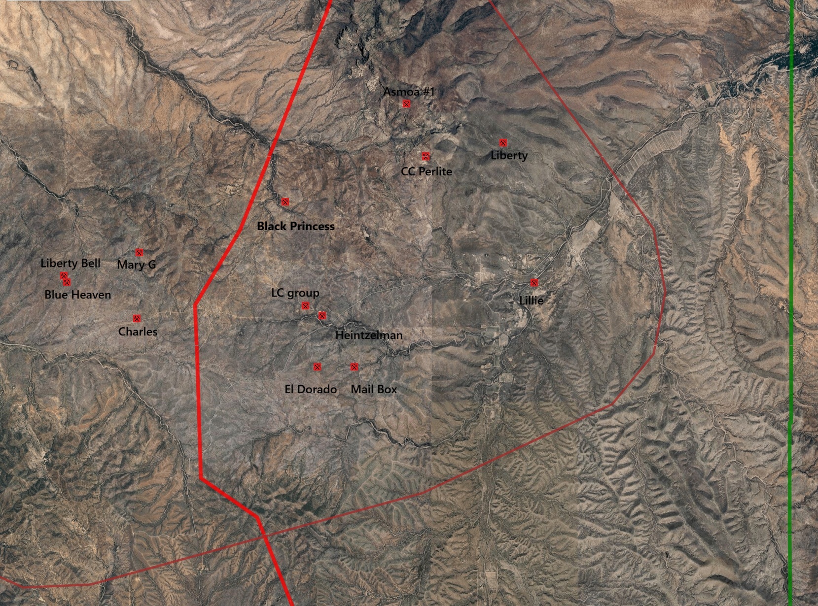
Mines Map
Use the links at the left to return.
|
|
Mine Descriptions |
|
Mary G Mine | |
|
AKA: Mary E, Princess group Mining District and MinesCerro Colorado District USBM: Location20S 10E E Central 21, 31.6726N, -111.3164W7 Mineral Products7Ag, Pb, Cu, Au, Zn (Hg). Ownership7Owner Name: Mary Leasing Co., Ayers, Goodsill & Carry Bros., Workman, Worsley, Bledsloe, Turner, Mary G. Mng. Co., Roberts Type of Operation and Production7Shaft workings. Operated intermittently from late 1800’s to 1950, producing some 800 tons of ore averaging about 60 oz. Ag/T, 1.5% Pb, 0.7% Cu and minor Au and Zn. Geology7 Irregular, lensing, drusy, and milky, partially oxidized quartz vein containing stringers and veinlets of galena, sphalerite, copper carbonates and mercury bearing tetrahedrite with minor barite and calcite along a fault zone in Laramide (?) propylitized andesite porphyry. Specs of cinnabar. Ore shoot controlled by fault intersection. References
| |