
|
Mines Menu:
Mines Map
Use the links at the left to return.
|
Mine Descriptions
|
Liberty Mine |
|
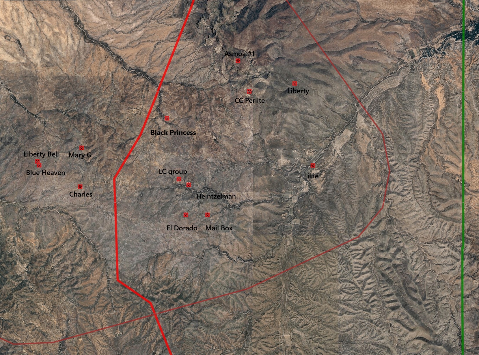
Mining District and Mines
Cerro Colorado District
USBM:
Location
20S 10E NE¼ 16, 31.6942N, -111.23202W7
Mineral Products7
Ag, Au, Pb, Cu.
Ownership7
Owner Name: Liberty Mng. and Smltng Co.
Type of Operation and Production7
Shaft and pit workings. Operated sporadically from mid-1800’s to early 1900’s, producing some 100 tons of ore averaging about 80 oz. Ag/T, 0.5 oz. Au/T, and minor amounts of lead and copper.
Geology7
Irregular quartz fissure vein with spotty oxidized argentiferous galena, and minor gold and copper mineralization.
.
References
- Mineral Appraisal of Coronado National Forest, Part 12, Santa Rita Mountains Unit, MLA11-94 (1994). SR 591-609
https://data.azgs.arizona.edu/api/v1/collections/BMRI-1552428987530-264/usbm_mla_011-94.pdf
- Mining in the Santa Rita and Patagonia Mountains of Arizona, U.S. Department of Interior, 1915. Republished 2014 by Kerby Jackson.
- mindat.org
- USGS Mineral Resources Data System - possibly using NAD72 (https://mrdata.usgs.gov/mrds/map-commodity.html#home)
- https://westernmininghistory.com/mine-detail/10162214/
- Index of Mining Properties in Santa Cruz county, Arizona; Stanton B. Keith, Arizona Geological Survey, Bulletin 191 (1975).
- Index of Mining Properties in Pima county, Arizona; Stanton B. Keith, Arizona Geological Survey, Bulletin 189 (1974).
|