|
|
|
Mines Menu:
Mines Map
Use the links at the left to return.
|
|
Mine Descriptions |
|
Hermit’s Home | |
|
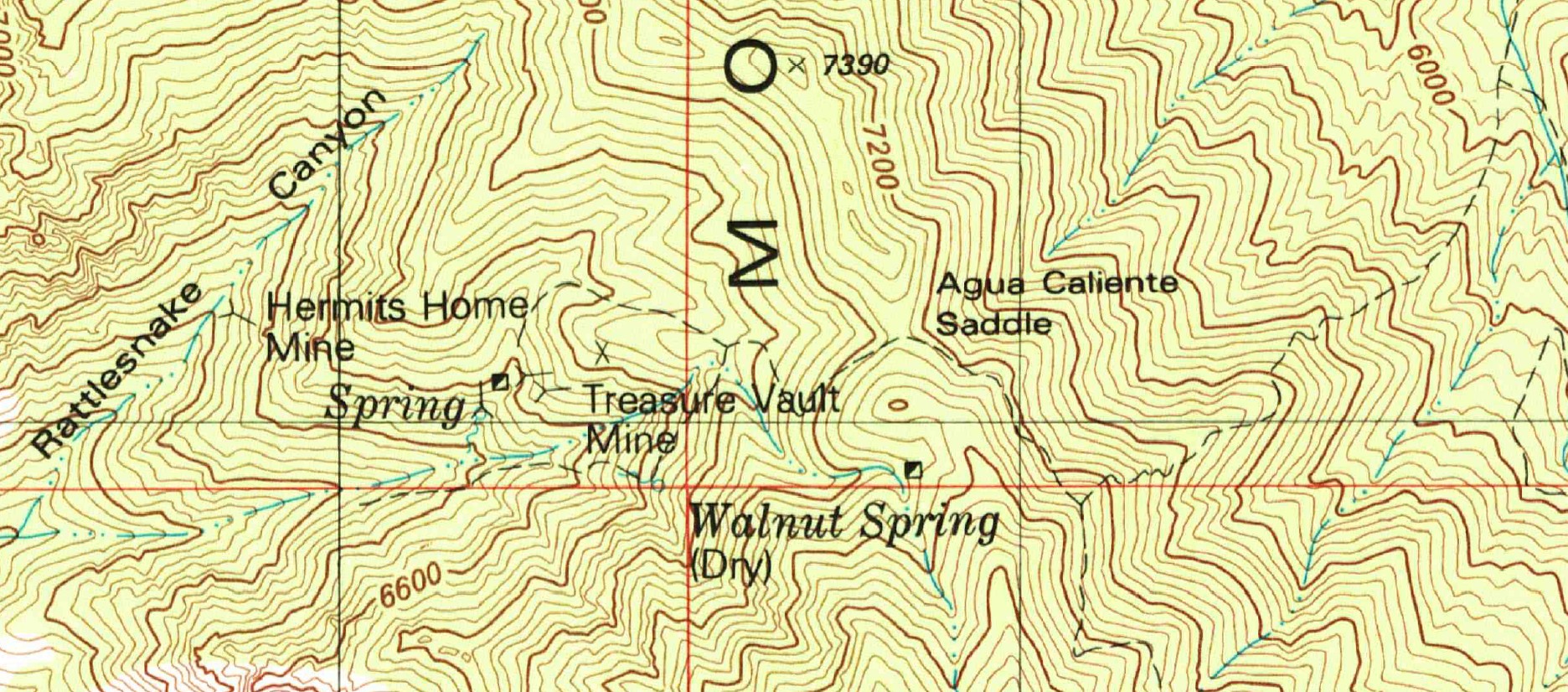
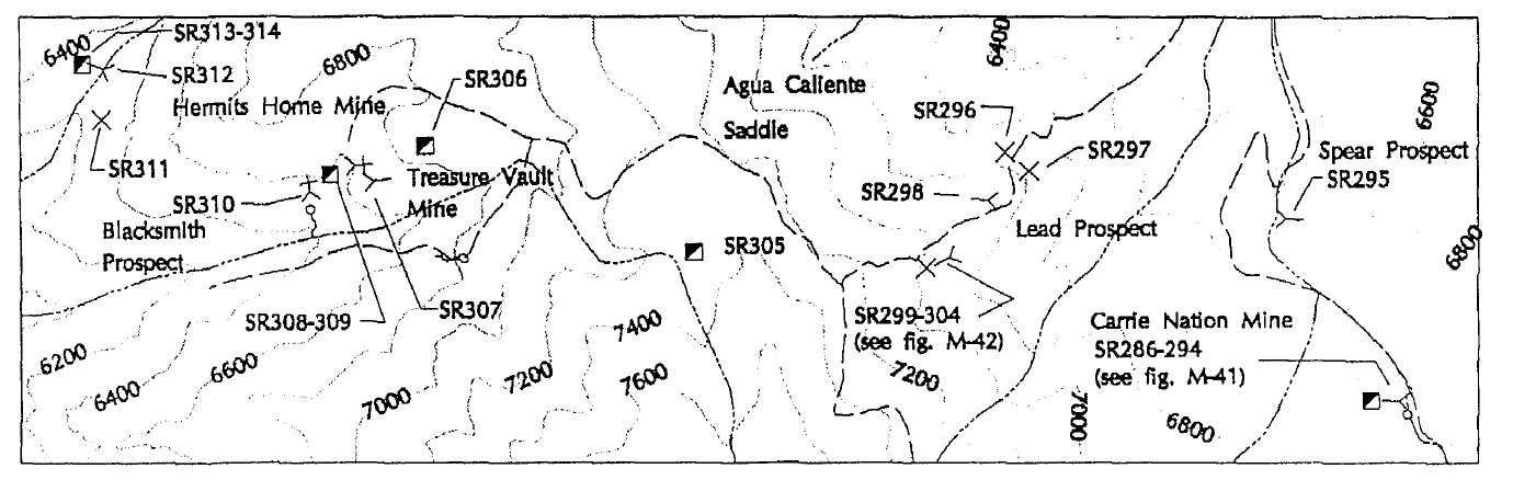
The Hermit’s Home claim is located in Rattlesnake Canyon, a north branch of Agua Caliente Canyon, at an elevation of 6,300 feet. It is on a diorite and granite contact zone containing considerable epidote with small pockets of quartz containing galena, chalcopyrite, and sphalerite. A fault dipping 80° SSW in the course pink country rock granite is associated with a foot of crushed silicified granite containing much white mica and a little disseminated pyrite, chalcopyrite, and chalcocite. The deposit is opened by a 130 foot tunnel on the northwest side of the canyon.2
Alternate NamesNone CompanyA. E. Jenkins2. Mining District and MinesTyndall District Arizona Geological Survey Mining datahttp://docs.azgs.az.gov/OnlineAccessMineFiles/G-L/JarillasmineSantacruz130A.pdf is not the same mine. LocationSouth side of the Patagonia mountains, close to the border. 23S 15E SE¼ 95 31.43931N, 110.80957W4 Mineral ProductsAg, Pb, Au-, Cu-, Mo-, Mn-.5 References
|