|
|
|
Mines Menu:
Mines Map
Use the links at the left to return.
|
|
Mine Descriptions |
|
Harshaw Gulch | |
|
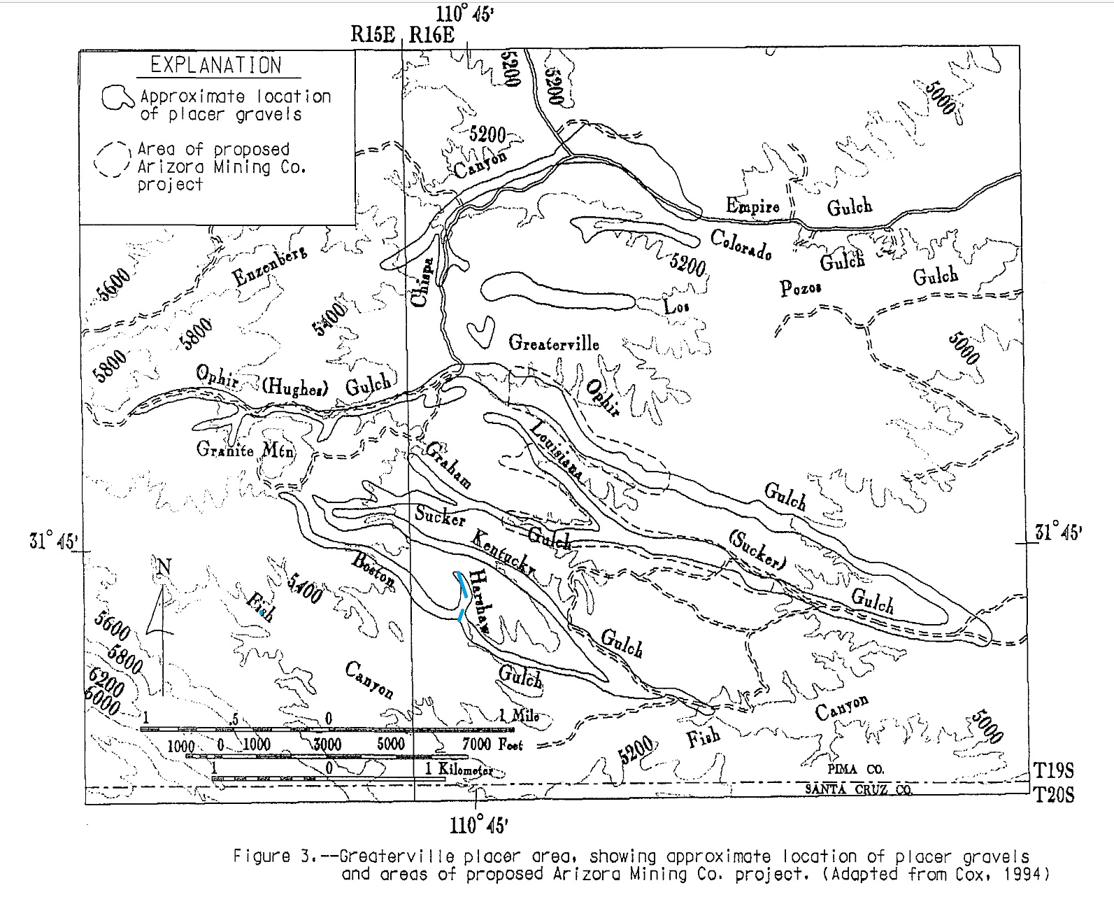
In Harshaw Gulch, a short narrow tributary of Boston Gulch with steep bedrock sides, the pay streak, which in places was rich, was confined to the bottom of the gulch, about 4 feet wide2. Mining District and MinesGreaterville District Location?5 Mineral Products6Ag, Au Type of Operation and ProductionBoston Gulch (including tributary Harshaw Gulch): gold-bearing gravels from the head of the gulches to about ½ mile south of Kentucky Gulch. Gravel channels increased in width from 4 to 50 ft. and in depth from 2 to 16 ft. as the distance from the head of the gulch increased1. Major operations from 1875 to early 1900s and small and sporadic since then. Estimated production of some 30,000 oz. Au or more with about 6,000 oz. Ag6. Geology6Course flake and nugget gold with minor combined silver and some attached galena in medium sized gravel among recent and older buried channels and terraces close to the mountain front. References
|