|
|
|
Mines Menu:
Mines Map
Use the links at the left to return.
|
|
Mine Descriptions |
|
Enzenberg Mine | |
|
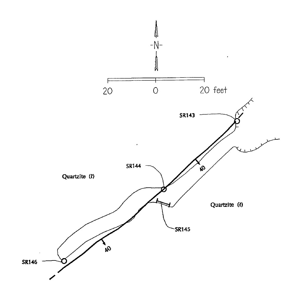
The Enzenberg or Mountain King mine is located at an elevation of 5,950 feet on the southeast flank of Castle Dome, 3 miles northwest of Greaterville. It is on a southwest dipping quartz vein which is in granite and is associated with a 2 foot rhyolite dike. The vein is opened by a 65 foot tunnel and shows two types of mineralization, pyrite with a little chalcopyrite having been formed on the footwall side and dark massive galena and sphalerite with minor amounts of pyrite on the handing wall side. The ore is all well banded. Several feet of water stands in the tunnel2. Alternate NamesMountain King, Silver Butte CompanyL. & R.; Comstock Mines Co.; Hurbut, Jones & Kline; Arizona Comstock Mng. Co.6 Mining District and MinesGreaterville District Arizona Geological Survey Mining dataLocation19S 15E S, NE¼ 236 Mineral ProductsPb, Zn, Ag, Au, Cu-.6 GeologyPartially oxidized quartz vein associated with a Laramide Rhyulite dike cutting Precambrian granite. Contain spotty pyrite with minor chalcopyrite on footwall and irregular banded galena, sphalerite, and minor pyrite on the hanging wall.6 Type of Operation and ProductionTunnel workings. A small tonnage of high grade Pb - Ag ore was shipped in the late 1800s.6 Plan of samples1
References
|