
|
Mines Menu:
Mines Map: Mines List
Use the links at the left to return.
|
Mine Descriptions
|
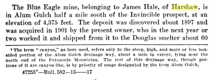
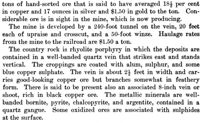
Blue Eagle Mine |
Ownership
Hale, Ewing, Soto5
Location
31.49222, -110.756114
22S 16E W. Cen. 305
Mineral Products
Cu, Ag, Au-, Pb-, Zn-5
Geology
Partly oxidized bornite, pyrite, chalcopyrite, galena and sphalerite with argentite in a well-banded quartz vein along a fault zone between Jurassic-Triassic rhyolite volcanics and strongly silicified sediments. Marked by a pyritic gossan.5
Type of Operation
Tunnel operations. Produced sporadically, in the early 1900's and in 1956, some 130 tons of ore averaging about 10% Cu, 11 oz. Ag/T and minor Pb, Zn, and Au.5.
References
- Mineral Appraisal of Coronado National Forest, Part 12, Santa Rita Mountains Unit, MLA11-94 (1994). SR 591-609
http://repository.azgs.az.gov/sites/default/files/dlio/files/nid1813/usbm_mla_011-94.pdf
- Mining in the Santa Rita and Patagonia Mountains of Arizona, U.S. Department of Interior, 1915. Republished 2014 by Kerby Jackson.
- Mike Bertram, 11/21/23
- USGS Mineral Resources Data System - possibly using NAD72 (https://mrdata.usgs.gov/mrds/map-commodity.html#home)
- Index of Mining Properties in Santa Cruz County by Staton B. Keith, bulletin 1991, Arizona Geological Survey, 1975
- Geology of the Three R Mine, Palmetto Mining District, Santa Cruz County, Arizona by Paul Handverger, MS thesis 1963, University of Arizona
- https://mrdata.usgs.gov/mrds/show-mrds.php?dep_id=10046338
- https://azdeq.gov/Three-R-Mine
- https://tucson.com/news/local/three-r-mine-contributed-to-arizonas-rep-for-copper-production/article_2a25e1e1-7280-5fd5-be97-a40732a39b1b.html
- mindat.org
|