|
|
|
Mines Menu:
Mines Map
Use the links at the left to return.
|
|
Mine Descriptions |
|
Anderson Mine | |
|
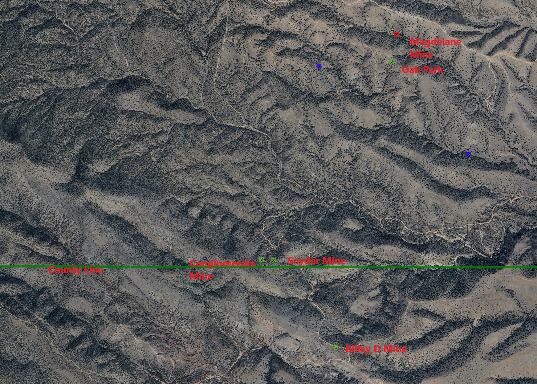
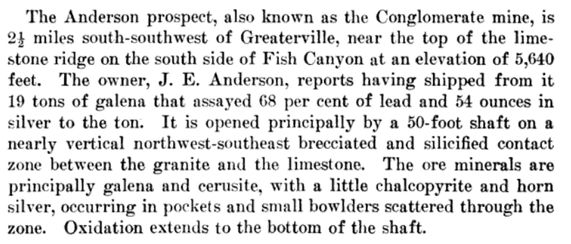
Alternate NamesConglomerate CompanyMidland Copper Co., Phelps Dodge Corp., Snyder Mng. & Mllg. Co.6 Mining District and MinesGreaterville District Arizona Geological Survey Mining dataLocation19S 15E6 31.73235, -110.763183 31.73013, -110.76735 (WGS84) 4 Mineral ProductsPb, Ag, Au, Cu-.6 GeologyIrregular and lensing quartz vein with partially oxidized lead and copper mineralization in a strongly brecciated and silicified fault zone along a contact of Precambrian granite and Paleozoic limestone.6 Type of Operation and ProductionShaft, and tunnel operations. Worked sporadically from early 1900's to 1955, producing some 1,000 tons of ore averaging about 10% Pb, 8 oz. Ag/T and minor Cu and Au.6 References
|