
|
Mines Menu:
Mines Reports:
Mines Map:
Use the links at the left to return.
|
Azurite / Olive Camp
|
Azurite, located a half-mile south of the Mineral Hill Mine, reached a population of 125 by the turn of the century. The high-grade lead-silver ores acquired from the San Xavier Mine before 1900 made it an attractive investment, having yielded a value of around $750,000.8
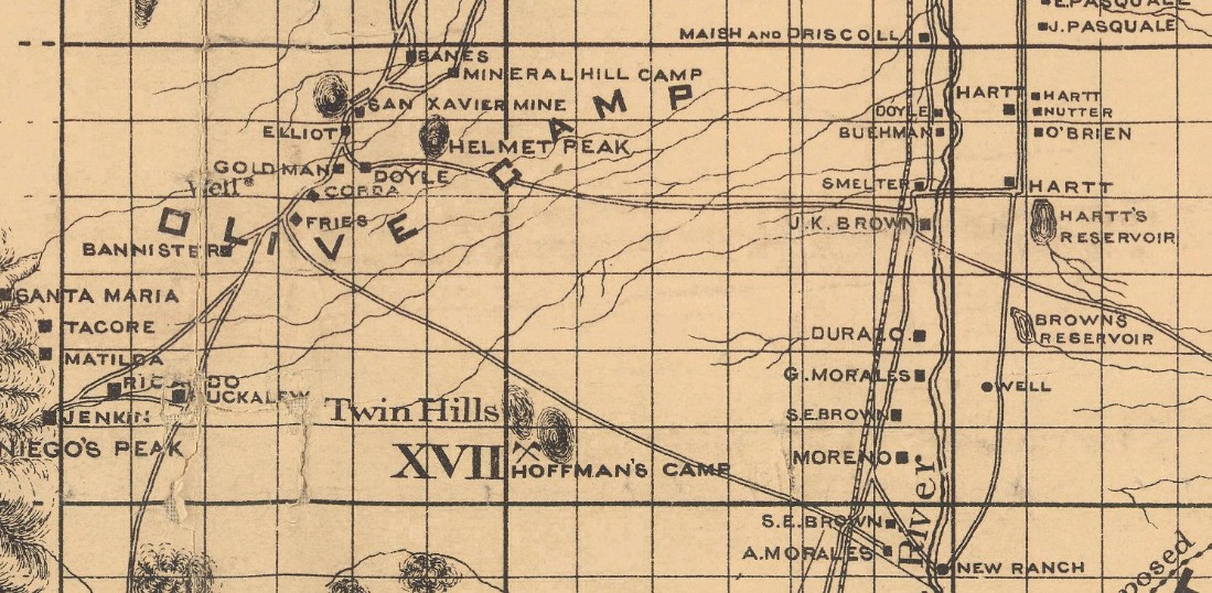
Olive Camp from Official 1893 Map of Pima County
References
- Mineral Appraisal of Coronado National Forest, Part 12, Santa Rita Mountains Unit, MLA11-94 (1994). SR 591-609
http://repository.azgs.az.gov/sites/default/files/dlio/files/nid1813/usbm_mla_011-94.pdf
- Mining in the Santa Rita and Patagonia Mountains of Arizona, U.S. Department of Interior, 1915. Republished 2014 by Kerby Jackson.
- Mike Bertram
- USGS Mineral Resources Data System - using WGS84 (https://mrdata.usgs.gov/mrds/map-commodity.html#home)
- Index of Mining Properties in Pima County by Staton B. Keith, bulletin 189, Arizona Geological Survey, 1974
- Index of Mining Properties in Santa Cruz County by Staton B. Keith, bulletin 191, Arizona Geological Survey, 1975
- Mindat.org
- Mine Tales: Pima Mining district grew from humble beginnings by William Ascarza
|